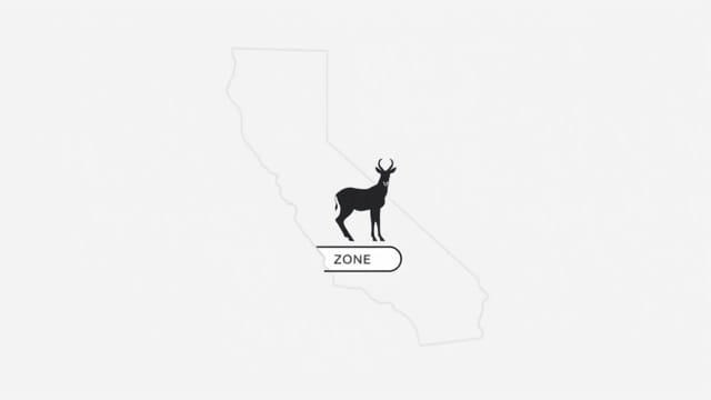
California is home to a fascinating species of wildlife known as the pronghorn antelope, a swift and graceful animal adapted to the state’s expansive grasslands and open habitats. To manage and conserve this unique species, the California Department of Fish and Wildlife (CDFW) has established specific pronghorn hunting zones across the state. These pronghorn zones help regulate hunting activities, monitor populations, and ensure sustainable use of natural resources. Understanding the California pronghorn zone map is essential for hunters, conservationists, and wildlife enthusiasts who seek to navigate the region responsibly and legally.
Overview of Pronghorn in California
Pronghorn (Antilocapra americana) are not true antelope, but they are often referred to as such due to their resemblance to species found in Africa. Pronghorns are native to North America and are known for their speed, reaching up to 55 mph, making them one of the fastest land animals on the continent. In California, pronghorn populations are primarily found in the northeastern and eastern parts of the state, where open sagebrush flats and grassy plains dominate the landscape.
Key Characteristics
- Distinctive white rump patches
- Short, forked horns present in both males and some females
- Tan to reddish-brown coloring
- Adapted for long-distance vision and high-speed running
The distribution of pronghorn is not uniform across California, which is why zoning and mapping are critical for effective wildlife management.
Understanding the Pronghorn Zone Map
The California pronghorn zone map is a geographic representation of the state divided into designated hunting zones where pronghorn hunts are regulated. Each zone corresponds to a specific area that reflects pronghorn habitat, population density, and land ownership patterns. The map is updated periodically to reflect changes in wildlife data, environmental conditions, and regulatory priorities.
Purpose of the Zone Map
- To define specific geographic areas where pronghorn hunting is permitted
- To help wildlife managers monitor and study pronghorn populations
- To allow controlled harvest that supports conservation goals
- To guide hunters in planning legal and ethical hunts
Each zone has a unique code and description, and the number of available tags (permits) is typically limited and issued through a lottery system.
Main Pronghorn Hunting Zones in California
As of the most recent updates, California features several pronghorn hunting zones, primarily concentrated in Modoc, Lassen, and Siskiyou counties. Below are the most recognized zones where pronghorn activity is managed:
Zone 1 Likely Tables
Located in Modoc County, the Likely Tables zone features rolling grasslands and basalt plateaus. It’s one of the most productive areas for pronghorn in the state and often sees consistent pronghorn populations year to year.
Zone 2 Big Valley
This zone encompasses parts of Lassen and Modoc counties and includes fertile valleys and agricultural lands. Pronghorns in this area benefit from private lands with high forage availability.
Zone 3 Surprise Valley
Surprise Valley is bordered by the Warner Mountains to the west and features sagebrush flats ideal for pronghorn habitation. This zone often requires close coordination with landowners for access.
Zone 4 Lassen
Found in the northern section of Lassen County, this zone includes expansive federal and private lands. It is less populated than other zones but still offers viable pronghorn opportunities.
Zone 5 Clear Lake
Covering a portion of Modoc County, this zone includes Clear Lake National Wildlife Refuge. The zone may include restrictions due to protected habitat areas, so hunters must be familiar with the latest regulations.
Tag Distribution and Regulations
Because pronghorn populations are sensitive to overharvesting and environmental change, the CDFW regulates hunting using a tag system. Interested hunters must apply for pronghorn tags through California’s Big Game Drawing.
Important Guidelines
- Tags are allocated via lottery due to high demand and low supply
- Applicants can specify preferred zones on their application
- Only a small number of tags are issued per zone per season
- Hunts typically occur in late summer or early fall
Hunters must possess a valid California hunting license and adhere to weapon restrictions, reporting requirements, and ethical hunting practices outlined by the CDFW.
Using the California Pronghorn Zone Map Effectively
The California pronghorn zone map is available online through official wildlife management resources. Hunters and conservationists should refer to this map when planning activities that involve pronghorn habitats.
Tips for Using the Map
- Zoom into specific regions to view detailed boundaries
- Compare map data with land ownership and access information
- Check updates prior to hunting season, as zones may be adjusted
- Use GPS apps that include wildlife zone overlays for field navigation
Accurate use of the pronghorn zone map minimizes legal risks and supports responsible wildlife stewardship.
Conservation and Management Goals
The zoning system is part of a broader conservation strategy to sustain pronghorn populations in California. Wildlife officials aim to balance ecological needs with public hunting interests.
Key Objectives
- Preserve genetic diversity within pronghorn populations
- Restore native habitats that have been degraded by development or grazing
- Monitor population health through annual surveys and harvest data
- Engage local communities and landowners in conservation efforts
Maintaining accurate zone boundaries and regulating harvest ensures that pronghorn can continue to thrive while providing opportunities for recreational hunting and ecological research.
Future Outlook for California’s Pronghorn
As climate patterns shift and land use changes in California, pronghorn conservation will face new challenges. Accurate mapping, scientific monitoring, and public cooperation will be essential for future success. The California pronghorn zone map will continue to evolve, reflecting these realities while offering a valuable tool for those who care about the state’s unique wildlife heritage.
Recommendations for Stakeholders
- Hunters should educate themselves on zoning and conservation ethics
- Landowners can support pronghorn by maintaining open rangeland and minimizing fencing
- Researchers should contribute data to improve zone accuracy and resource management
- Policymakers must ensure that wildlife zoning remains science-based and adaptive
The California pronghorn zone map plays a vital role in managing one of the state’s most iconic wild species. By defining clear boundaries for legal hunting and conservation actions, the map helps protect pronghorn populations while supporting sustainable outdoor activities. Whether you’re a seasoned hunter or a wildlife enthusiast, understanding and using the zone map responsibly contributes to the long-term success of pronghorn conservation in California’s beautiful and diverse landscapes.